School of Public Finance Hosts Scientific Seminar on “Land Use Change in the Vietnamese Mekong Delta: New Evidence from Remote Sensing”
In February 2022, the School of Public Finance organized a scientific seminar on the topic: “Land Use Change in the Vietnamese Mekong Delta: New Evidence from Remote Sensing.” The event featured presentations by Dr. Vu Hoang Thai Duong and Dr. Nguyen Phuc Canh. The seminar was held in a hybrid format (offline and online) and garnered significant interest and participation from faculty members of the School of Public Finance and a diverse range of invited guests.
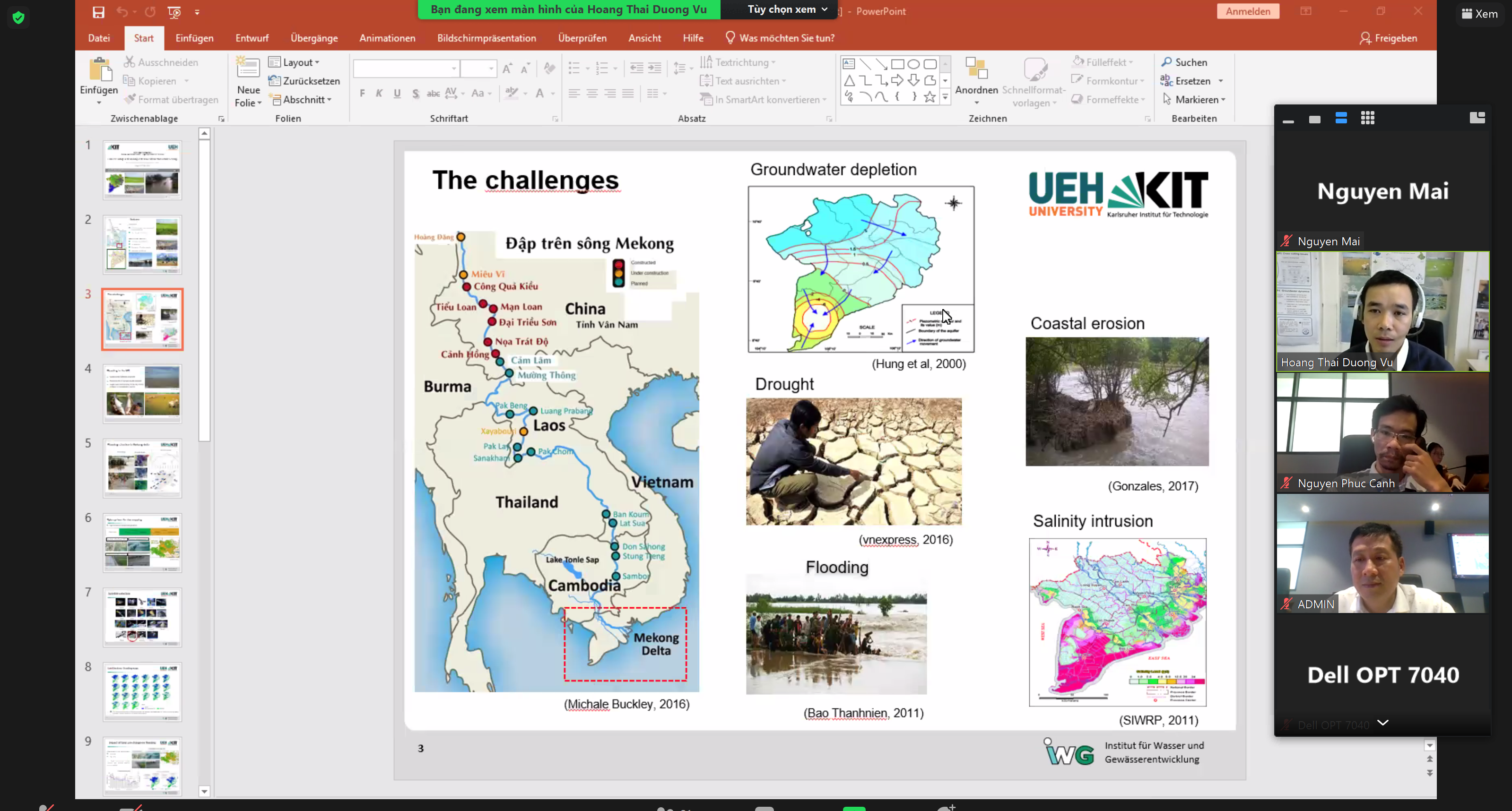
This paper presents the first endeavor to capture a comprehensive spatial overview of land use change in the Vietnamese Mekong Delta (VMD) over a prolonged period, specifically from 2000 to 2020. It aims to holistically monitor land use and flood dynamics in the region, address the causes driving land use change, and assess the impacts of these changes on the hydrological aspects and farmers’ livelihoods over the past 21 years. Notably, MODIS products were utilized to study land use and flood dynamics after demonstrating validation with statistical and radar satellite data, yielding R2 = 0.96 and R2 ≥ 0.97 for land use and flood maps, respectively.
The results indicate that rice cultivation remains the most dominant land use type, accounting for 40% to 46% of the delta area, while aquaculture occupies 10% to 22%. The total rice cultivation area increased from 3764 thousand hectares (thous. ha) in 2001 to 4343 thous. ha in 2015, driven by the intensive development of a third rice crop in the upper region, before decreasing to 3963 thous. ha in 2020. Conversely, aquaculture areas, predominantly located in coastal zones, remained relatively stable, with a slight increase from 619 thous. ha in 2001 to 856 thous. ha in 2020. The massive construction of dikes for the third rice crop in the upper reaches appears to have significantly impacted the annual flooding regime. Land use policies have influenced changes in land use patterns, flood status, and the livelihoods of local farmers.